The Sea Monsters of Spencer

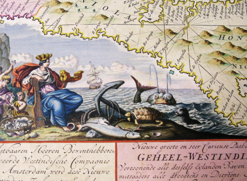
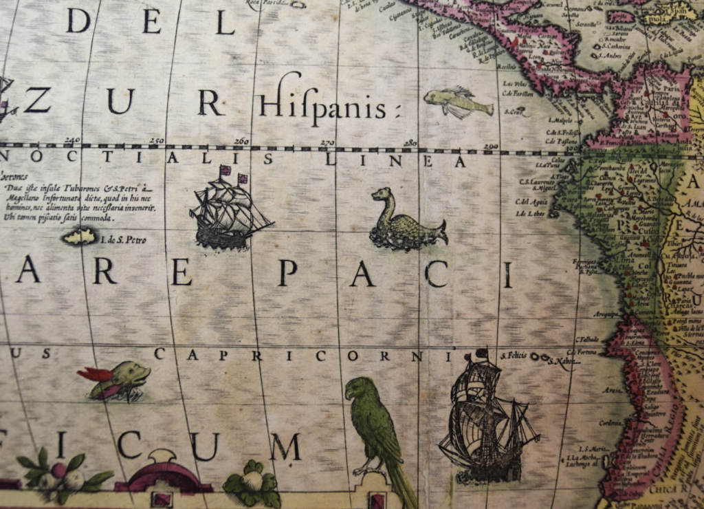
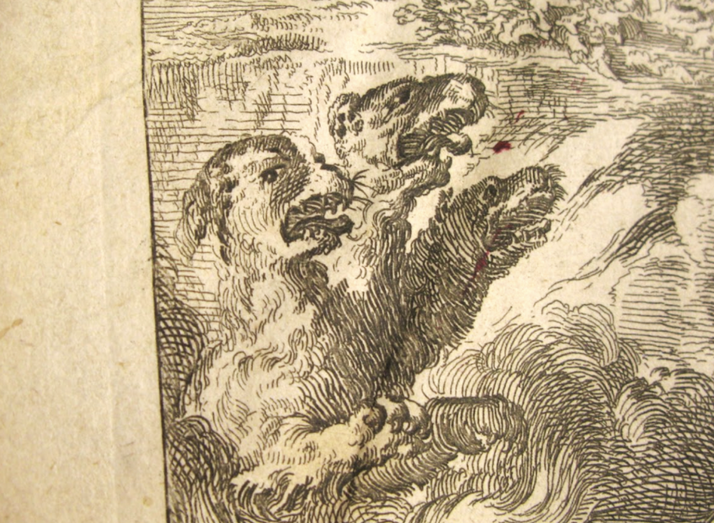
In May of this year, students and staff in the Conservation Lab undertook the ambitious project of rehousing the Spencer Library’s Orbis Maps collection. This collection includes more than one thousand maps that span centuries, forming a vibrant repository of our geographic landscape through time. Though there was much to explore, one of the most exciting parts of this project was the continual discovery of sea monsters, peppered in the blue of the earliest maps.

Though these sorts of depictions seem mystical to us, sea monsters were often included by mapmakers who were striving for scientific accuracy. Prior to the eighteenth century, seafaring legends heavily influenced what people knew of oceanic life. Sailors would return from their expeditions with tales of close brushes with vicious kraken, sirens, and serpents. Such beasts were then often included by mapmakers — a practice which, according to the Smithsonian, was an act of upholding the common understanding of that time.

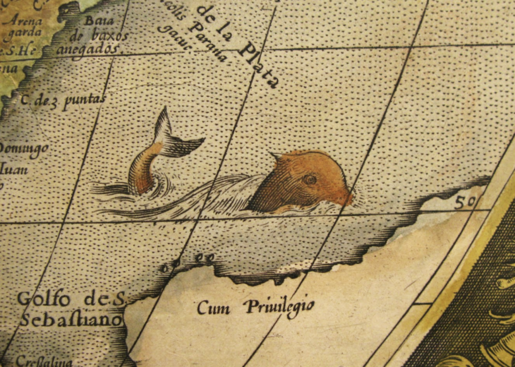
In many instances, sea monsters were inspired by animals that sailors might have come across, but perhaps not accurately seen. For example, in Orbis Maps 1:30, above, a whale-like creature swims through a gulf, with only small characteristics distinguishing it from the sea mammal we’ve come to know. In other cases, as with Orbis Map 1:5 (below), the sea monsters have virtually no bearing in reality and are altogether closer to the traditional monsters of myths and legends.
![Full view of the map Nova totius terrarum orbis tabula Amstelaedami...by Frederik de Wit, [173-]. Call Number: Orbis Maps 1:5.](https://blogs.lib.ku.edu/spencer/wp-content/uploads/2024/10/Orbis-Maps-1.5-B-1024x881.png)
These sea monsters are just a few of many that were found in the Orbis Maps collection. As the maps progressed through time, we observed the image of the world change to become more and more representative of what we have today, and sea monster numbers slowly dwindled as scientific knowledge became more absolute.

The rehousing project for the Orbis Maps was completed on July 30th of this year and, overall, a total of sixteen maps were found to contain sea monsters like the ones shown here. These creatures, and many more delights from this collection, can be visited in the Spencer Research Library.
Reece Wohlford
Conservation Services Student Assistant
Tags: Cartography, Conservation Services, Orbis Maps, sea monsters, Special Collections, student employees
